
Sometimes, the most powerful tools don’t look the part. Case in point: a radar system small enough to fit in a backpack, light enough to fly on a balloon, and sensitive enough to detect a shift in the Earth’s surface as small as a millimeter.
Developed through a collaboration between NASA and startup Aloft Sensing, the new HALE InSAR system represents a major leap in how we track the subtle movements of our planet—movements that often precede natural disasters like volcanic eruptions, landslides, or shifts in permafrost.
Radar Without GPS
Traditional radar systems depend on GPS to orient themselves precisely. Without it, the images blur, and the data becomes unreliable. HALE InSAR breaks that dependency. By using advanced positioning algorithms, it can track its location with pinpoint accuracy—even in places where GPS is unavailable or deliberately blocked.
That makes it especially valuable for monitoring remote areas or conflict zones, where conventional systems fail. “SAR is like a long-exposure camera, except with radio waves,” explained Brian Pollard, Chief Engineer at Aloft. “If your position isn’t exact, the image smears.” HALE InSAR solves this problem elegantly, without adding bulk or power-hungry components.
High Altitude, Long Endurance
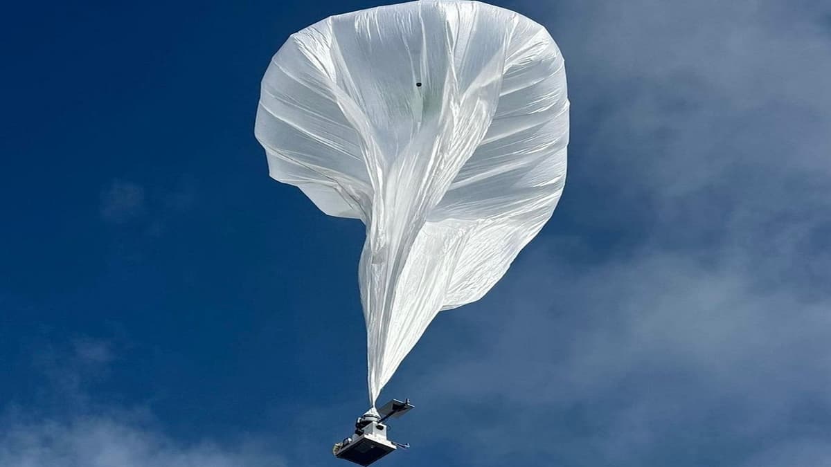
The system rides aboard HALE platforms—lightweight, solar-powered aircraft and balloons that cruise at 65,000 feet or higher for weeks at a time. From there, they can revisit the same location repeatedly, capturing high-resolution snapshots of ground shifts with a precision once limited to massive satellites.
At just 15 pounds and under 300 watts, HALE InSAR is an engineering marvel. Its flat phased-array antenna replaces the heavy gimbals of older radar, electronically steering the beam to where it’s needed.
The payoff? A tool that can detect early signs of volcanic inflation, measure slow-moving landslides, or even monitor snowpack changes critical to water supplies—all in real time.
From Balloons to Space
So far, HALE InSAR has flown on stratospheric balloons and airships, validating its performance in extreme conditions. Next up are fixed-wing HALE aircraft and, eventually, deployment on small satellites in low-Earth orbit.
If that happens, HALE InSAR could scale globally, becoming a watchtower system for Earth’s restless surface. Civil agencies could use it to predict disasters, militaries to track terrain changes, and scientists to better understand the slow, invisible movements shaping our planet.
Lauren Wye, CEO of Aloft Sensing, summed it up: “This is a level of sensitivity that has eluded traditional radar sensors. We’re making something smaller, cheaper, and more capable than anything that’s come before.”
Why It Matters
The power of this technology is not just in its precision but in its accessibility. Big, expensive satellites and ground-based GPS arrays aren’t practical everywhere. HALE InSAR’s portability and low cost make it possible to deploy at scale—democratizing access to the kind of data that was once the sole domain of governments with billion-dollar budgets.
This could usher in a new era where real-time Earth monitoring is as common as weather forecasts, with early warnings preventing disasters and saving lives.
Related Stories:
- NASA’s Balloon-Borne Telescope Offers New View of the Cosmos
- Miniature Radar Could Help Predict Earthquakes
