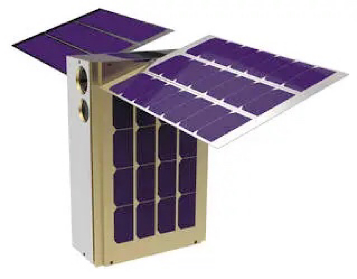
LunaH-Map with its solar panels unfolded
by: Kaitlin Kanable
CAPE CANAVERAL, Fla. (WHNT) – Throughout the Apollo missions to the moon, all of the landings focused on areas near the equator. Now, on the first Artemis mission, a tiny satellite called LunaH-Map will be focusing on what things look like at the moon’s south pole.
The Lunar Polar Hydrogen Mapper was one of 10 CubeSats chosen to fly aboard the Space Launch System’s (SLS) first fully integrated flight. These small satellites are helping with large science goals.
News 19 sat down with LunaH-Map Principal Investigator Craig Hardgrove to learn more about the CubeSat and its mission to the moon. The University of Tennessee graduate has been with the project from the very beginning.
“We’ve known for a while now that there is ice at the poles on the moon,” Hardgrove said.
He explained previous missions have used scientific tools to take readings of hydrogen deposits, showing where water probably is, but LunaH-Map will help visually show what those areas look like. It will provide details on those areas such as how deep the water deposits are and how wide.
LunaH-Map has a neutron spectrometer onboard which the rest of the spacecraft has been built around. The spectrometer is about the size of a tissue box while all of LunaH is about the size of a large cereal box.
Hardgrove explained the project was first thought of about seven years ago when scientists wanted to know more about the ice at the lunar south pole.
Continue reading… “Hitchhiking to the moon: LunaH-Map”